The Risk-Rated Divide: How Insurer Pricing and Land Categorisation Are Bifurcating Hawke’s Bay Property
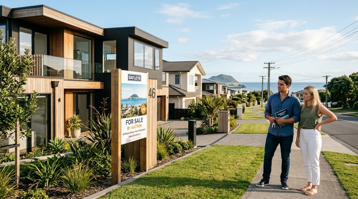
A quiet transformation is redrawing the residential map of Hawke’s Bay. What began as an emergency response to the devastation of Cyclone Gabrielle has solidified into a structural division across the regional property market. Where buyers once evaluated homes primarily on floor area, school zones, and architectural style, due diligence is now dominated by contour maps, Land Information Memoranda (LIM) flood notations, and automated insurance risk engines.
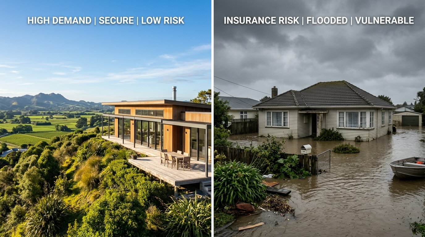
Data from the Real Estate Institute of New Zealand (REINZ) and CoreLogic reveals a stark bifurcated market taking root across Napier and Hastings. Rather than a uniform regional recovery, Hawke’s Bay has divided into two distinct asset classes: elevated, topographically secure enclaves that command aggressive buyer premiums, and low-lying, flood-exposed areas subject to prolonged listing times, widening price discounts, and punitive insurance terms.
Granular Underwriting and the Death of Flat Premiums
The primary catalyst behind this valuation gulf is the rapid institutionalisation of risk-based pricing by major underwriters, led by IAG New Zealand. Operating through brands including AMI, State, and NZI, IAG commands substantial domestic market share and has accelerated the shift away from broad regional risk pooling toward hyper-local, address-specific risk models.
Under this actuarial regime, two homes separated by merely five hundred metres on the Heretaunga Plains can face radically different annual holding costs. While properties perched on bedrock or natural ridges incur standard premiums, dwellings positioned within overland flow paths or secondary stopbank zones routinely incur flood excesses exceeding $5,000 to $10,000, alongside premium increases running 30 to 50 percent above regional baselines. In extreme cases, prospective buyers report that some insurers refuse to offer new flood cover altogether until regional mitigation schemes achieve physical sign-off.
Because registered retail banks require fully unconditional, replacement-value residential building insurance as a non-negotiable condition of mortgage drawdown, insurance friction translates directly into transactional drag. Conditional contracts in low-lying pockets fall over with regular frequency during ten-day finance clauses, shifting market leverage firmly into the hands of cash purchasers and speculative buyers demanding steep capital discounts.
The Buyout Legacy and the Scars of Esk Valley
The government’s post-cyclone land categorisation framework set the legal and psychological foundation for this market fracture. Across the region, hundreds of properties were placed into Category 2 or Category 3 designations, identifying intolerable risk to life or the urgent need for community-scale engineering interventions.
Nowhere is this shift clearer than in Esk Valley. Once among the most desirable lifestyle and semi-rural corridors north of Napier, the valley floor was heavily impacted when the Esk River breached its banks. The subsequent Category 3 buyout programme administered by Hastings District Council saw approximately 160 residential dwellings acquired for demolition or decommissioning, permanently removing substantial productive housing stock from the private market.
While the Hawke’s Bay Regional Council has progressively retired Category 1 classifications and advanced Category 2C flood-mitigation projects, the permanent imprint on council hazard portals remains indelible. Even as Category 3 titles are cleared, the market memory of inundation continues to dictate buyer sentiment. Surrounding properties that escaped direct structural damage still encounter deep buyer hesitation, with valuation discounts ranging between 15 and 25 percent compared to unaffected lifestyle locations elsewhere in the district.
The Flight to Elevation: Havelock North and Bluff Hill
At the opposite end of the spectrum sits an aggressive flight to safety. Capital that previously circulated freely across coastal and plains addresses has concentrated in topographically elevated suburbs. Havelock North and Napier’s Bluff Hill have emerged as the prime beneficiaries of this regional reallocation.
Havelock North continues to function as the prestige anchor of the Hastings District. CoreLogic and local market figures show median values holding firm between $950,000 and $1,050,000, well above the wider district median of approximately $740,000. Properties nestled along the north-facing foothills of Te Mata Peak offer buyers unencumbered insurance approvals, clean title records, and natural elevation above any credible river-breach projections. High-net-worth local movers and inbound inter-regional buyers from Wellington and Auckland have concentrated their search parameters in these streets, creating steady clearance rates even through broader economic headwinds.
A matching dynamic is evident in Napier. While the city’s overall median hovers near $680,000, Bluff Hill commands sustained price points between $850,000 and $1.2 million. The appeal rests on historic stability: elevated ground with natural surface runoff straight into Hawke Bay, entirely immune to the river silt and catchment overflow that inundated the lower plains. In contrast, low-lying Napier suburbs such as Marewa, Pirimai, and Maraenui—many built over reclaimed lagoon or marshland—face median sale prices between $450,000 and $580,000, where buyers openly factor future insurance rate trajectories into their opening offers.
The Valuation Divide in Key Metrics
The practical differences separating high-ground enclaves from plains property are visible across several key performance indicators tracked by REINZ and regional valuers:
- Median Days to Sell: Properties in established elevated zones such as Havelock North and Bluff Hill average 42 to 48 days on market. By comparison, flood-overlay properties across the plains routinely stretch past 70 days.
- Insurance Conditional Failures: In unmitigated flood zones, failed settlements driven by uninsurable or high-excess determinations account for a measurable proportion of collapsed sales.
- Price Variance: Upper-quartile elevated suburbs have held positive five-year capital baselines, whereas low-lying precincts remain roughly 15 to 20 percent below their 2021 market peaks.
- Rental Yield Distortions: Plains suburbs display higher nominal gross yields on paper, often between 4.8 and 5.5 percent, but those margins are substantially eroded by escalating insurance premiums and rates levies directed at council flood-protection works.
Structural Shift or Temporary Phase?
Some market participants initially anticipated that buyer risk aversion would soften as memories of the 2023 disaster faded. Property data over recent quarters confirms the opposite: the risk-rated divide is widening, not closing.
The permanence of this division is anchored in institutional risk models. Insurers such as IAG New Zealand, Suncorp, and Tower have invested heavily in granular digital elevation modelling and climate-risk underwriting algorithms. Once an insurer attaches an elevated hazard multiplier to a specific parcel of land, removing that loading requires substantial, verified physical engineering works—such as the multi-million-dollar flood stopbank upgrades currently overseen by the Hawke’s Bay Regional Council.
Until those Category 2C infrastructure projects are fully completed and officially audited, lower-lying suburbs across Napier and Hastings will continue to trade at an unavoidable discount. Elevated properties, offering buyers seamless mortgage approval and predictable long-term operating costs, will maintain their premium position. In Hawke’s Bay, elevation is no longer merely an aesthetic amenity; it has become the region’s defining financial asset.